DRAWING A LINE AT
THE ARCTIC CIRCLE
An invisible geographical coordinate is transferred into the physical terrain as a painted line.
CONCEPT
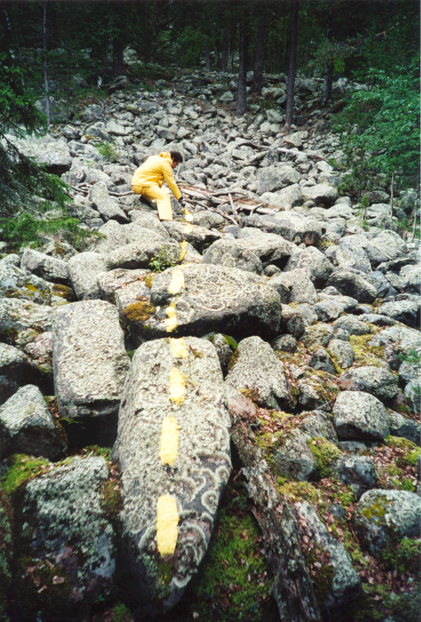
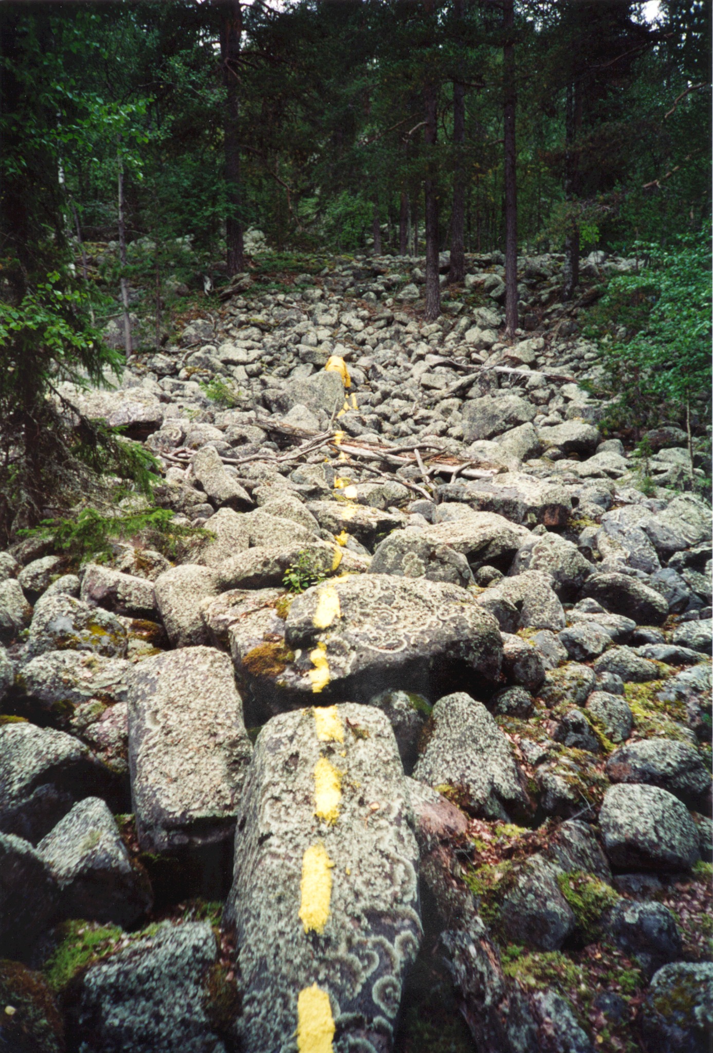
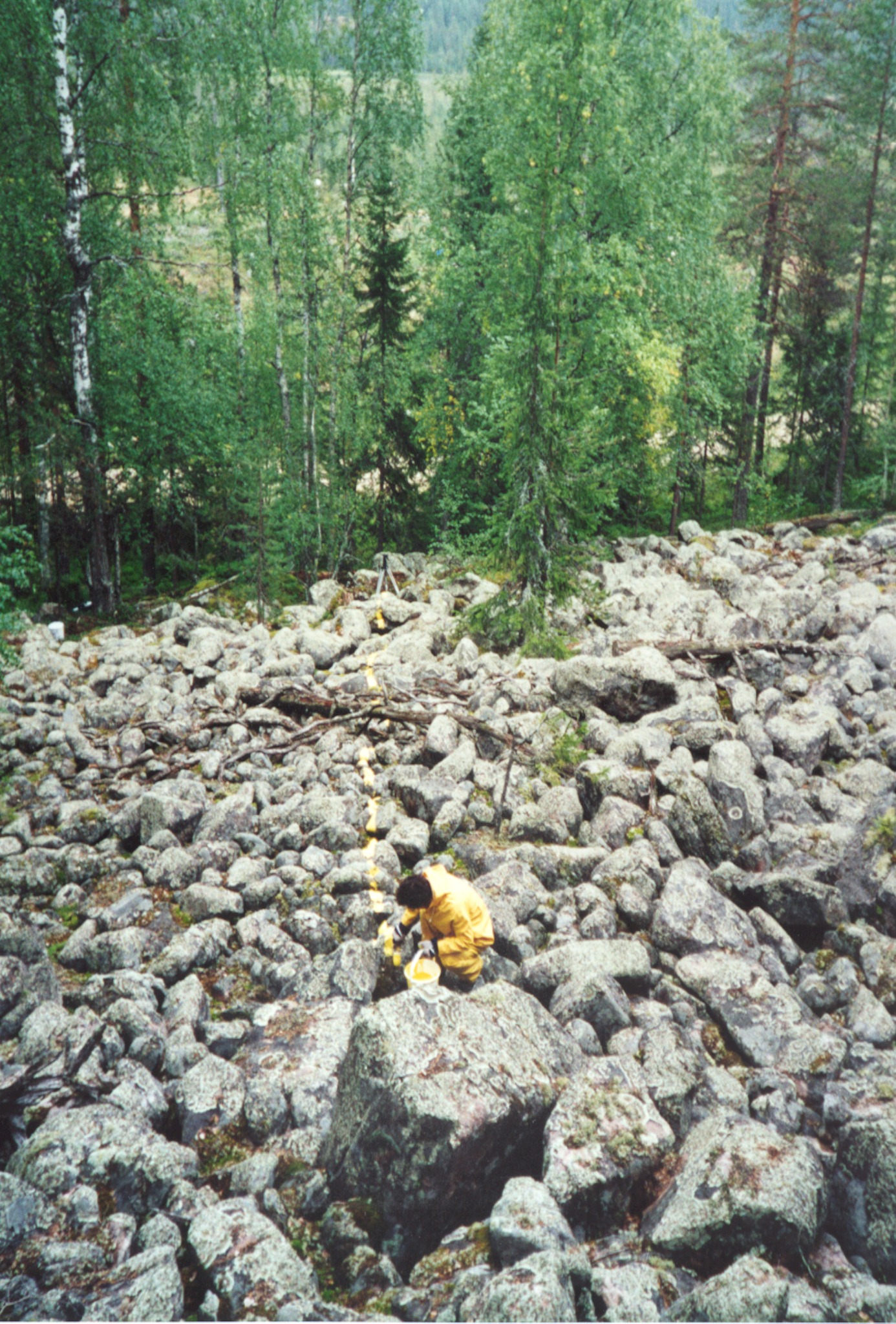
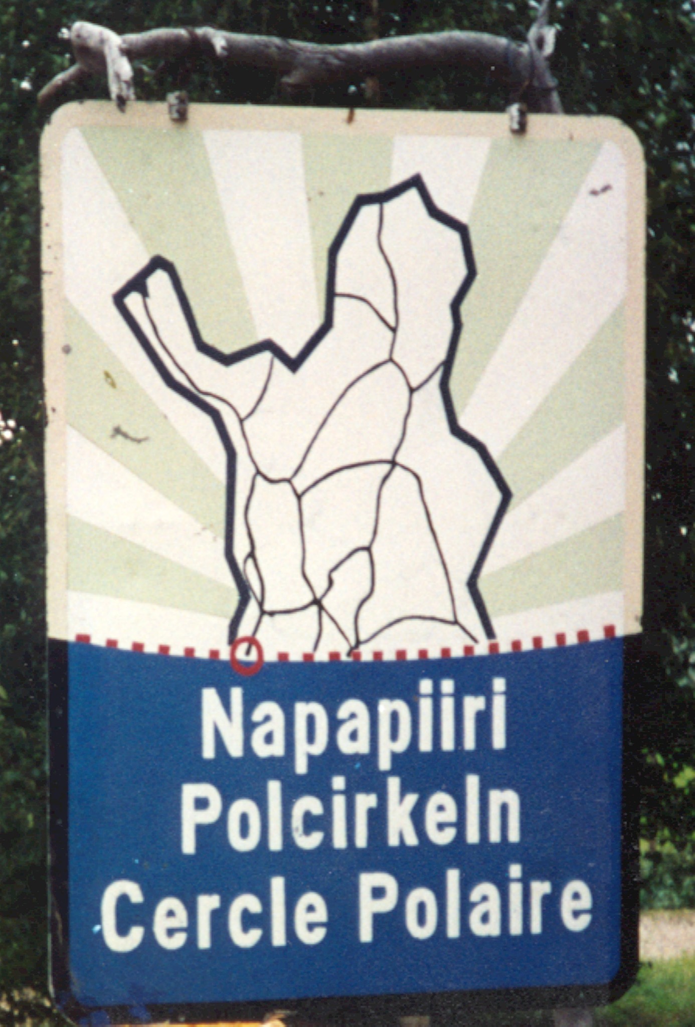
In 1993, the Arctic Circle was taken from the abstraction of cartographic space and translated into a yellow line across approximately one kilometre of Finnish terrain—from the foot to the top of a wooded ridge.
The line crossed stones, forest floor and fallen timber. It did not level the landscape or establish a precise surveying instrument; instead, an invisible geographical boundary became a bodily action and a material trace.
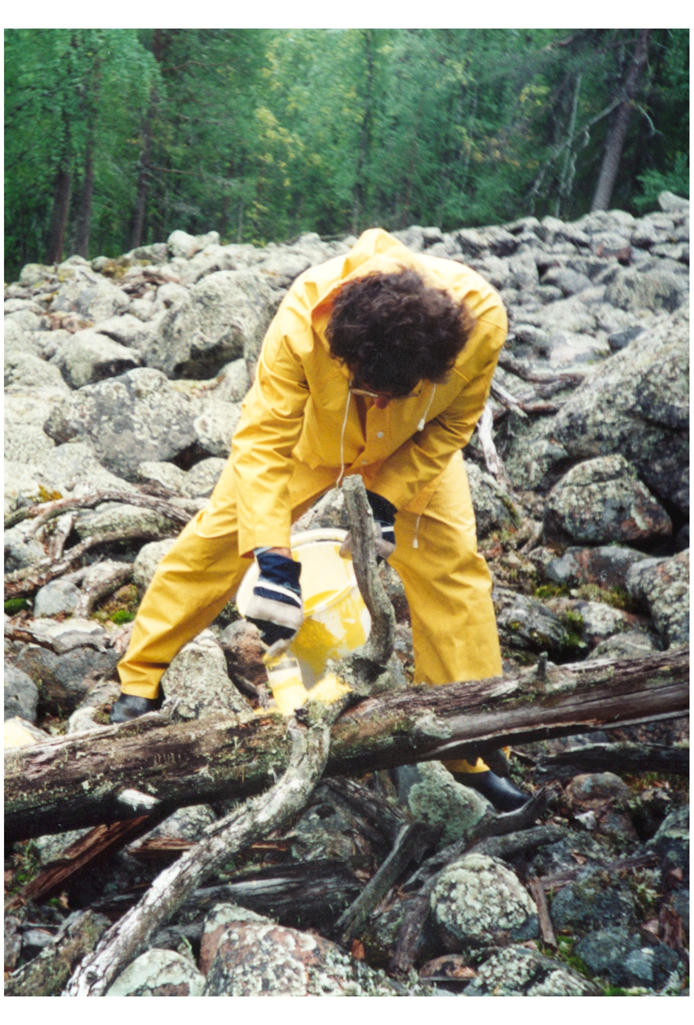
Measurement appears here as an unstable relation between map, ground and movement. The artist followed the route stroke by stroke in yellow work clothes, keeping his attention on the terrain. Geographic certainty shifts toward effort, duration and the irregular resistance of place.
Landscape intervention · performative action
Ajanki near Rovaniemi · Finland
1993
Approximately 1,000 metres
Yellow paint applied across rocks and forest terrain
Realised work