LEVEL
A horizontal line relates the installation to an actual datum.
Lines, distances, heights and viewing points transform landscape into a spatial instrument. Measurement becomes a way of relating the body to a place rather than fixing it as a number.
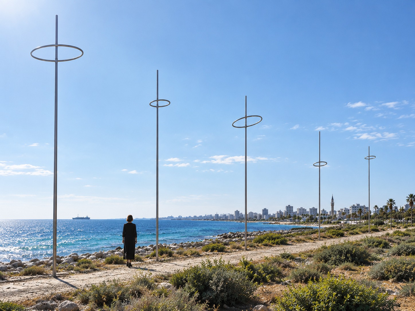
A sequence of spatial markers translates conditions already present at the site into lines, intervals, heights and orientations. The landscape does not surround the instrument; it constitutes it.
VIEW PROJECT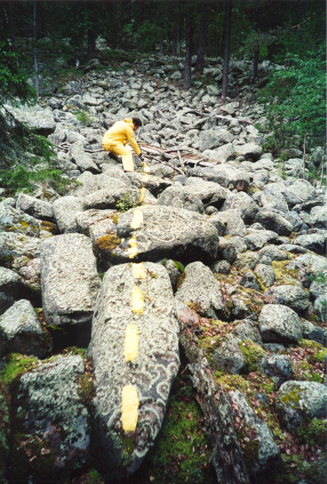
Across approximately one kilometre of rocky forest terrain, an invisible geographical coordinate becomes a yellow line, a bodily action and a temporary material trace.
VIEW PROJECTA horizontal line relates the installation to an actual datum.
Intervals between elements translate scale into bodily movement.
Vertical markers make changing values spatially perceptible.
The work is read from positions that must be found by moving.
The measured landscape changes; the instrument never becomes final.
VALUE / DISTANCE / BODY / CHANGE
The instrument is never complete: as conditions change, landscape continually recalibrates the work.